20th January 2017
Hello people…
We ventured out to The Cheviots today intending to walk about 7 miles exploring some of the hills, on what our instruction book (The Scottish Borders – 40 Favourite Walks by Robbie Porteous) tells us, is a ‘rolling ridge walk’. Probably we could have chosen a better day to take to the hills. It was one of those grey days when you don’t quite know what’s going to happen to the weather and, because we’ve never walked in these hills before we don’t know them at all.
Two miles in, a drizzly mist descended and we made the decision to cut the route short, using our OS map to find the way across fields to the Pennine Way. It was the right thing to do and reminds me of two things to say to you – never worry about abandoning a walk if you don’t feel safe and always, always carry an OS map!
As we set out on our ramble today from Town Yetholm, having donned our boots and gaiters, scarves and hats and gloves, we walked past the Borders Mountain Rescue Landrover…..the driver gave us a long stare as if committing our appearance to memory for future reference! Thankfully we didn’t need him……but it was very reassuring to see him there.
We still managed four and a half miles and it was lovely to be in the hills and see the stunning views.
Enjoy reading
Julie xx
Town Yetholm circular via Sunny Side Hill and Kirk Yetholm (4.5 miles)
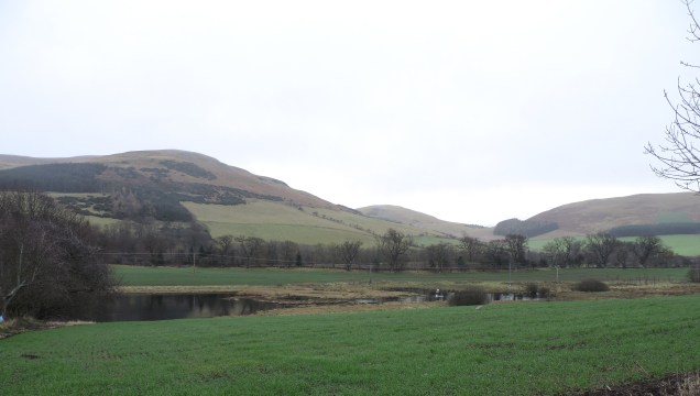
Town Yetholm and Kirk Yetholm lie side by side in the Scottish Borders divided by Bowmont Water, a stream rising in The Cheviots and flowing through the hills and into Northumberland. The twin villages were once home to the royal house of the Scottish Gypsies whose first King, Johnny Faa was recognised in 1540 by King James IV as ‘lord and earl of Little Egypt’. Since that time all Scottish Gypsy Kings have been known as Johnny Faa.
We start our ramble in Town Yetholm beside the village green and heading south out of the village passing a small pond housing swans and mallards before turning towards the hills and crossing Bowmont Water via a ford.
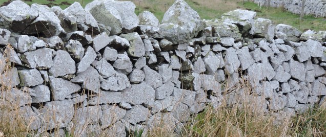
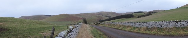
Following the uphill track past farm buildings we’re walking towards a ‘drystane dyke’ (or a drystone wall for all you English ones) which will lead us all the way to the top of the hill and onward over the ridges.
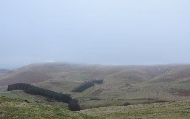
It’s a very steep hike to the top of Sunny Side which is 327 metres (1072 feet) but the views are worth it. Sadly, as we reach the top and take a breather we look around us to see that mist descending in the distance. Its still beautiful though.
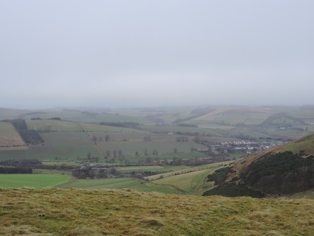
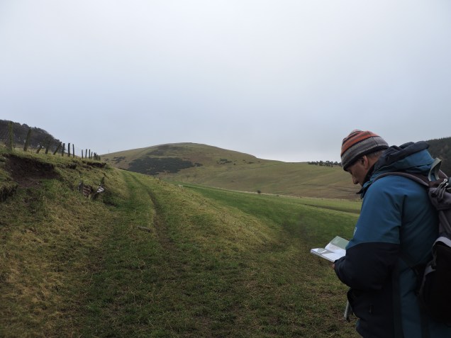
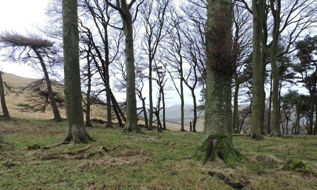
I already know as we look around, that it’s not sensible to carry on. We’ve got two more steep ascents on this roller coaster walk and the way is not clearly marked, we’re depending on the OS map and our novice navigation skills to keep us on track. We take a while to have a think, looking around at all the visible landmarks and searching the map for alternative paths. We finally decide to descend to a copse of trees about halfway down our present hill and have a hot drink and a bite to eat.
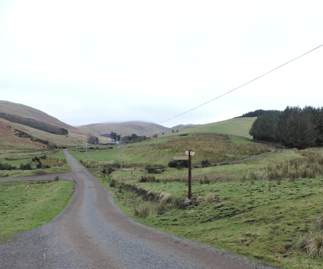
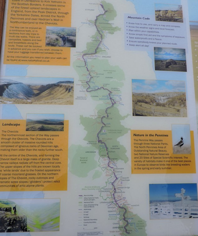
A little break gives us time to look in detail at the map and the surrounding landscape. We’ve spotted a television mast on a distant hill which gives us a point of reference as its also on the map and when we see some walkers far below us walking along a well-worn track we’re sure we’ve found The Penine Way which has its end point in Kirk Yetholm – just where we’re headed. So decision made, we march downhill, cross some fields, climb a gate, tramp through mud and eventually find ourselves on the right path! Feeling very pleased with our map reading skills and quite relieved to see a waymark post we turn left along the road which will lead us into the village.
It’s a couple of miles easy walking into Kirk Yetholm, passing the ‘Gypsy Palace’ as we enter the village – former home of the Gypsy King Charles II, crowned in 1898 and now a holiday home. We stop for a look at the kirk – but unfortunately it’s locked so we can’t see inside.

We walk on through Kirk Yetholm, recross Bowmont Water and find ourselves back at the village green in Town Yetholm, not such a long trek as we were expecting when we set out – but one we can return to in the Spring, to see some more of those Cheviot Hills.
For those who want to see more (if you scroll over the photo you should get some more info:


I hope you enjoyed this one!
Total miles walked: 56. 944 to go!
