Tuesday 24th November 2015
Hello
On Tuesday we took a walk around Hume accompanied by Ms RR – just returned from Denver (the one in Colorado) and suffering from jetlag! Well, she will go skipping off all over the place! Fresh air and exercise were called for; luckily the recent iciness had passed and it was a dry, if slightly gloomy, day.
For those who are asking for pictures of our new house and surroundings – here’s one for you:
Our house!
Enjoy reading
RR x
From Home to Hume and Back Again (2.5 miles)
We headed out along the road towards Homebyres, pausing briefly to look back across the fields to our house:
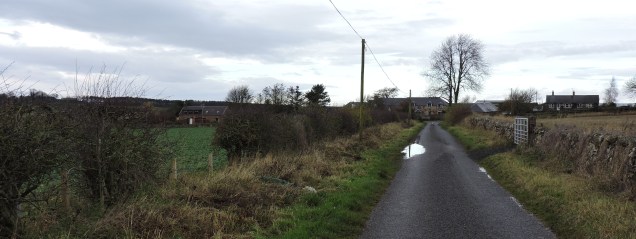
The road to Homebyres with our house on the left hand side.
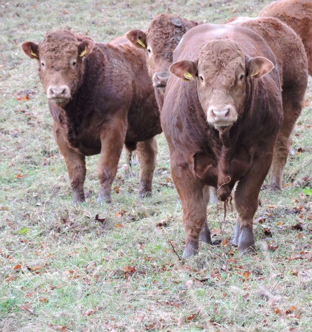
Homebyres is that farm I told you about where they breed those gorgeous Limousin cows. They were curious about us again today and stopped their feeding to come and see what we were up to:
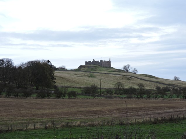
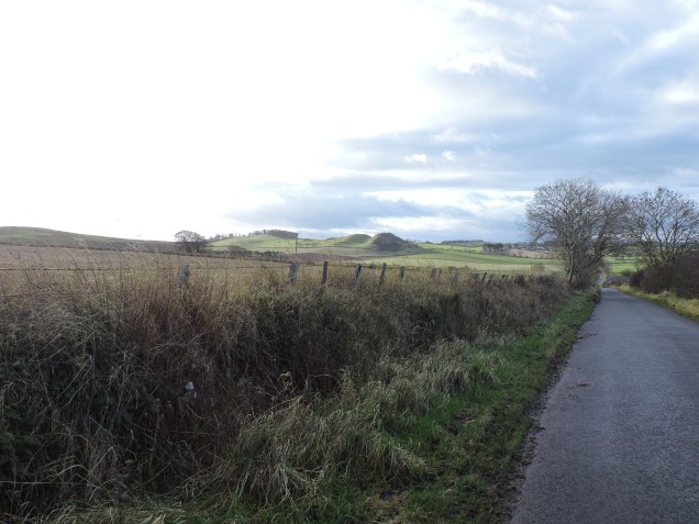
Along the way Mr RR spots a yellowhammer (sadly I missed it) and I suddenly notice that there’s a stream running along the edge of the field and for some reason am very pleased. Across the stream and a few fields away we can see Hume Castle sitting high up on its hill and watching silently over the surrounding countryside – an area which is labeled on the Ordnance Survey map as ‘Merse’.
A little internet investigation tells me that Merse is a district of the Scottish Borders – the largest and most southerly of Berwickshire (although of course, you’ll remember that we’re in Roxburghshire now – I think so anyway!).
A website called ‘A Vision of Britain’ (visionofbritain.org.uk/place/26111) says that Merse comprises all the lowlands between the Lammermuirs (a range of hills between the Lothians and the Borders) and the River Tweed. So many names – I don’t remember having this problem in Cornwall! It was just ‘Cornwall’!!
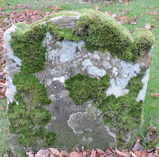
At the corner we turned left uphill and soon reach the cemetery, which is all that remains of St Nicholas Church, at one time the parish church of Hume. The Parish of Hume used to surround the seat of the ‘Home’ family at Hume Castle, but most of it was united with Stichill (just down the road) in 1610 and the rest given over to Gordon (a village a few miles away) sometime in the 17th century.
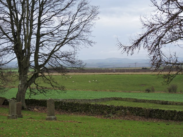
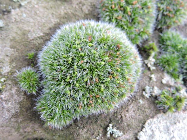
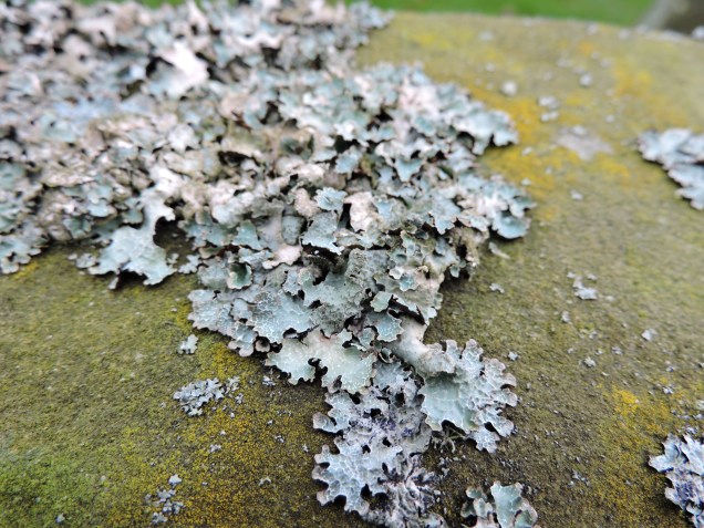
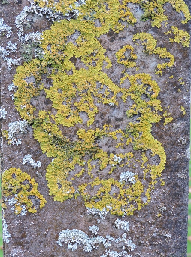
The church was built around 1127 and dedicated to St Nicholas in 1147 by the Bishop of St Andrews. By 1640, however, it was closed and succumbed to Cromwell’s Ironsides in 1673. The only visible remains now are soft green mounds, which were at one time the foundations, within the cemetery. The views across to the Cheviots from the cemetery are stunning though and we spend some time admiring them before I turn my attention to the profusion of lichen on the ancient gravestones.
And what a lot of lichen there is!
Having had our fill of views and lichens we walk on uphill and then turn right along the muddy track towards the castle. The fields here are full of sheep and we’ve become the object of sheep curiosity!
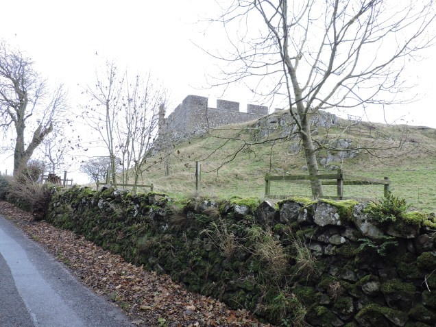
Hume Castle, now in ruins and managed by Historic Scotland, was built sometime around the late 12th or early 13th century. It is thought that Waltheof, Earl of Dunbar acquired the land and built the first stone fortifications on the site. Apparently, before the advent of artillery, Hume Castle was considered to be impregnable.
We make our way past it along the road and through the quiet village towards the War Memorial which sits on the junction of the Greenlaw road. Then, after a chat with a lovely gentleman who’s planting primroses, we turn and head back along the road towards home.
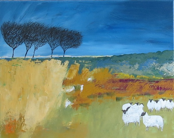
Artwork for Ricketyrambler by Andrew Major
http://www.andrewmajorart.co.uk
http://www.artistsandillustrators.co.uk/Andrew-Major
